Map types

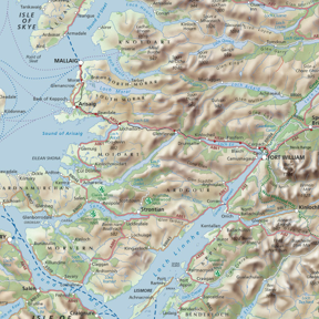
LIE OF THE LAND
Topographic maps provide a detailed picture of what is on the ground - physical and man-made features, communications, settlements, etc. A key element is the depiction of relief - mountains, hills, valleys. Our original, hand-drawn and distinctive hill-shading provides a unique impression of the lie of the land in an attractive graphic style.
CONTOURS
Contouring is a more traditional method of portraying relief. It allows easy interpretation of the height and shape of the land and the steepness of slopes. Contours can be coloured according to their height, creating attractive ‘layer-colouring’ which gives an instant impression of an area’s high and low land.
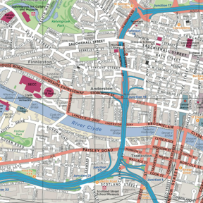
AROUND TOWN
Clear and easy to read maps are needed to navigate around towns and cities. We can create town plans for highlighting urban walking or cycling routes, or the locations of businesses and visitor attractions.
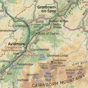
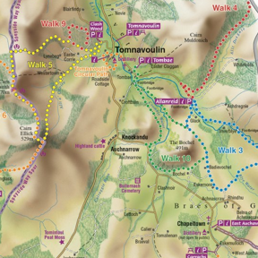
IN THE COUNTRY
Our maps can provide a base for highlighting special features, places of interest and walking trails or tourist routes. These may be in national or country parks, nature reserves, estates or just in your local countryside.
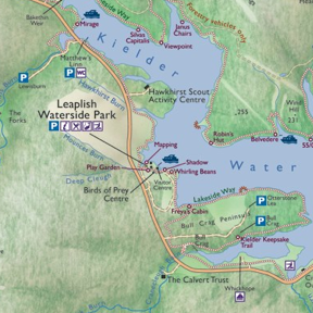
WHAT TO SEE
Setting places of interest, visitor attractions, key locations and guided routes or itineraries in the context of their region and landscape will leave visitors in no doubt about what they will find during their visit. We can customise our maps to carry your specific information in an appropriate style for your publication.
Nature of the landscape
Pictorial maps and perspective views, particularly if combined with good methods of showing relief, can provide vivid impressions of a landscape. This can help provide a sense of place, a feel for the environment and an idea of what visitors will experience there.
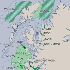
GET THE MESSAGE
We can translate your GIS (Geographic Information System) data, or any geographical statistics, into meaningful maps which will immediately help to get your message across.