About us

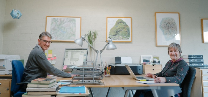
We are a husband and wife team - Mick and Jennifer Ashworth - with over forty years’ combined experience in mapping and the use of geographic information. We launched Ashworth Maps and Interpretation Ltd in April 2008, to provide high quality maps, design and editorial services to organisations wishing to present geographic information in an imaginative and meaningful way in their publications, displays and websites.
Both of us started our cartographic careers working for the Ministry of Defence mapping agency in map research and production. Jennifer also had a spell working for the National Remote Sensing Centre developing uses of satellite imagery. We spent three years in Hong Kong, Mick liaising with national mapping agencies in southeast Asia, Jennifer working on a land use map of the territory for the World Wide Fund for Nature (WWF).

More recently, prior to launching our company, Jennifer devoted herself to our family of three boys, and Mick worked for twelve years for HarperCollins Publishers as Editor in Chief for World and European cartography - a role that included editorship of the Times Comprehensive Atlas of the World. He continues to work with HarperCollins as Consultant Editor to Times Atlases. He also had a spell as President of the British Cartographic Society (BCS) and has talked about maps at conferences, on national TV and national and local radio.
Mick is a member of the BCS and a Fellow of the Royal Geographical Society. Ashworth Maps and Interpretation Ltd is a member of the International Map Trade Association (IMTA) and the Association of Heritage Interpretation (AHI).
-
We have a passion for the natural world - our aim is to create maps and interpretive material which do justice to its wonder, instil a ‘sense of place’ and which enable people to access, enjoy and be informed and inspired by it.
We believe that such a passion for the world, specialist knowledge and well developed cartographic skills help to create meaningful maps.